


Last year, as part of the “Young Researchers” course at the Technion’s School for Gifted Students in Hadera, I implemented the project Signposts for an Accessible Environment, with the guidance of Dalit Lan. In the course, students learn the different stages of the research process and gain experience conducting laboratory research. At the same time, it was important to me to show them that research does not have to remain within the classroom—it can also contribute to society.
The project focused on collecting information that could support the development of a navigation application for people with disabilities and visual impairments—an application that would provide information about accessibility rather than only identifying the “shortest route,” as Waze and Google Maps currently do.
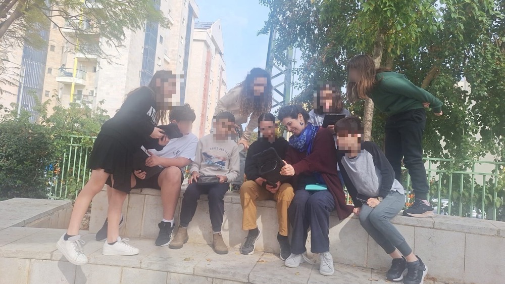
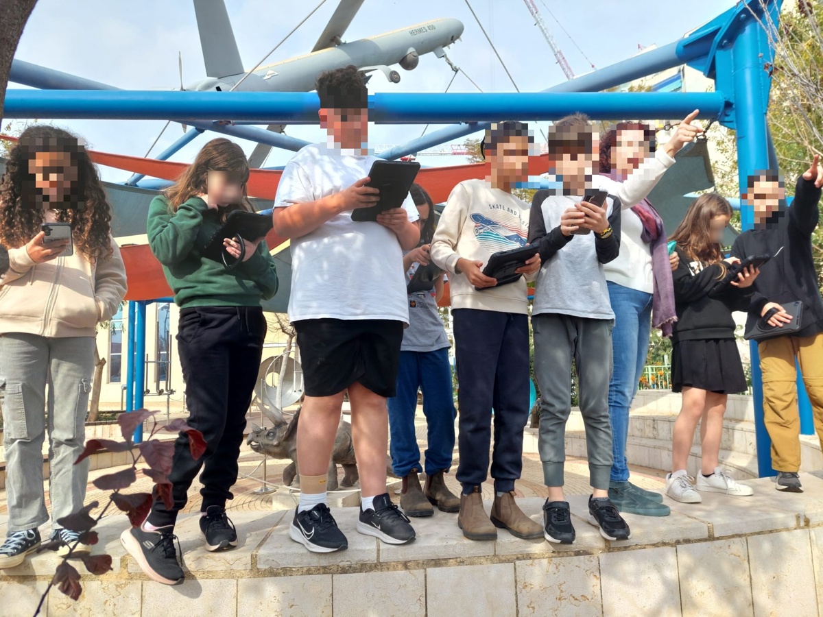
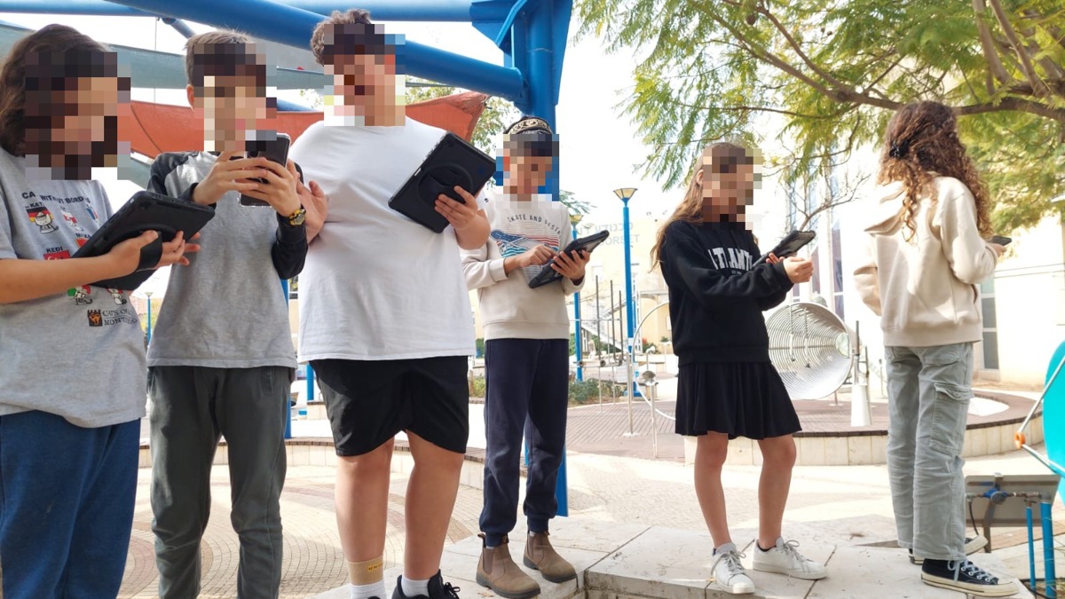
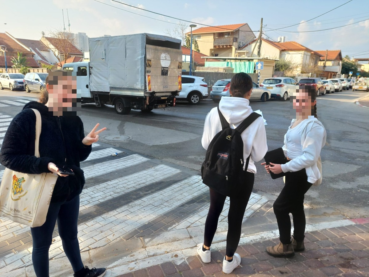
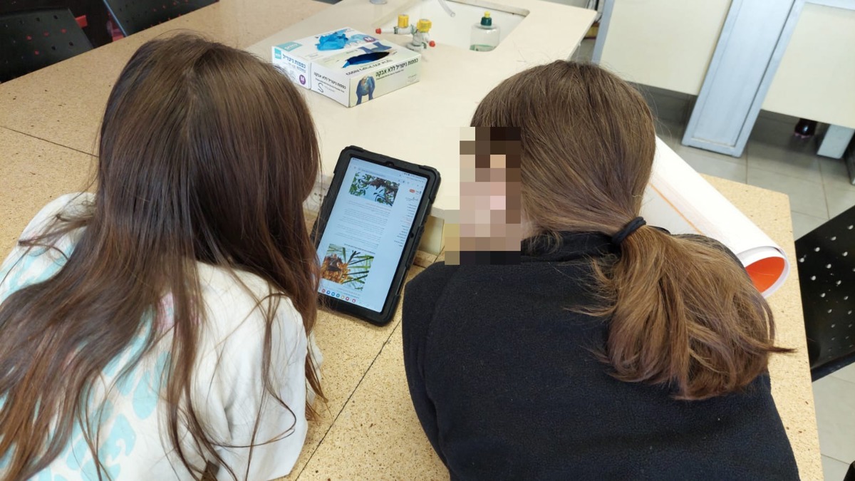
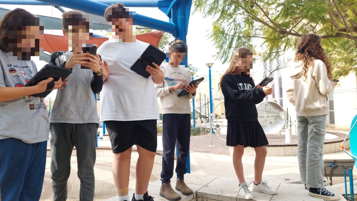
As part of the project, we conducted fieldwork throughout Givat Olga. The students used their phones and an application to map accessibility in the area, including pedestrian crossings, poles obstructing sidewalks, and other locations that might be accessible or inaccessible. They took photographs, uploaded location data, and added comments whenever they felt there was something important to note about a particular place.
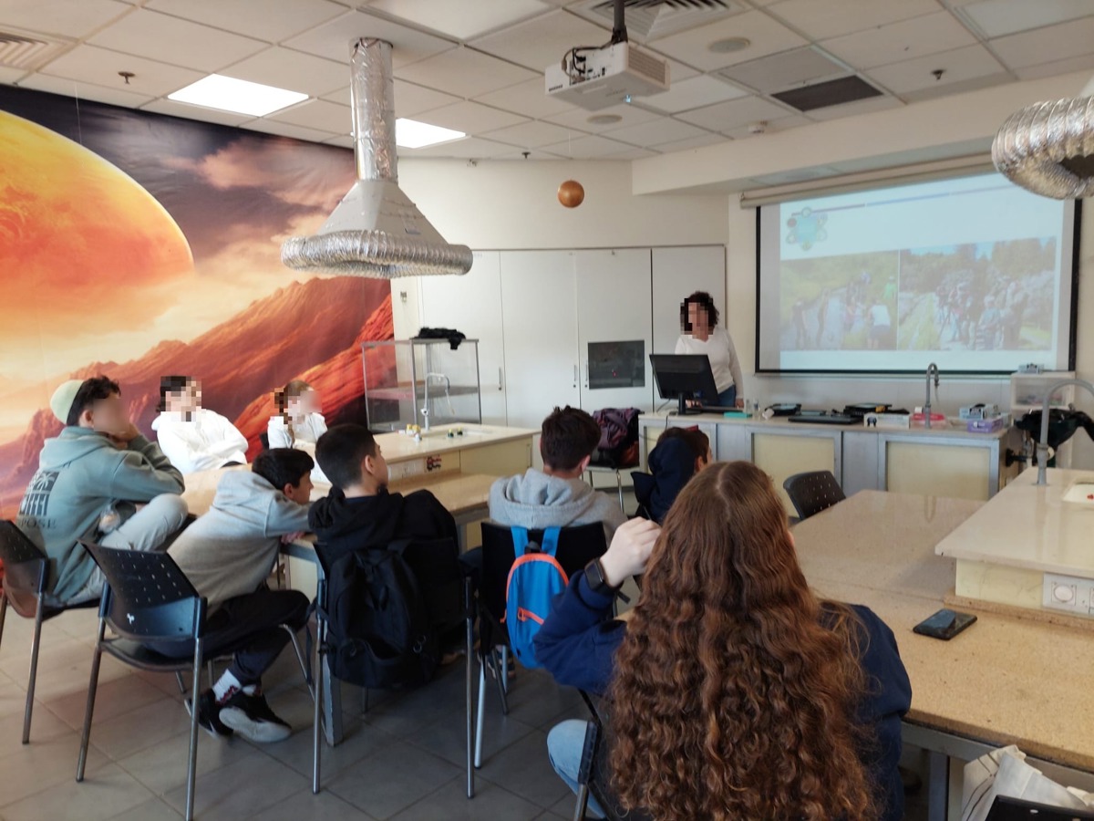
One of the adaptations I made was to add an experiential and human dimension to the activity and to connect it directly with the people whom the data were intended to serve. I invited a speaker with a visual impairment, who came with her guide dog, to give a lecture. The lecture was originally intended only for the students in the course, but we decided to extend it to the entire grade level because I felt that it could provide the students with a meaningful context. It allowed them to see and understand directly why their mapping work mattered and how it could help people who face daily challenges related to mobility and crossing roads—situations in which Waze or Google Maps do not provide an adequate solution.
During the lecture, I gave the students the freedom to ask any questions they had about the speaker’s everyday life. They asked thoughtful questions and participated actively. The speaker also gave them practical exercises that helped illustrate the topic, such as using a mobility cane while wearing a blindfold.
For me, this was a moment in which I saw how meaningfulness could lead to much stronger engagement. When students understand who their work is intended to help and why it is important, they become more committed, collaborate more actively, and realize that they are not “just” collecting data for some scientist.
Overall, I was pleased with this adaptation and would not change it. The only thing I would do differently would be to plan in advance a better way of involving the parents in what we had done—to explain the project and give greater visibility to what the students had learned and accomplished, so that their work would not remain confined to the course or the grade level.
More resources


Comments
1כל הכבוד על הפעילות, כל כך חשוב להוסיף את המימד האנושי וכמו שכתבת, זה הופך את הפעילות מסימון טכני למשהו שיש לו משמעות רבה עבור אנשים עם לקות ראייה