


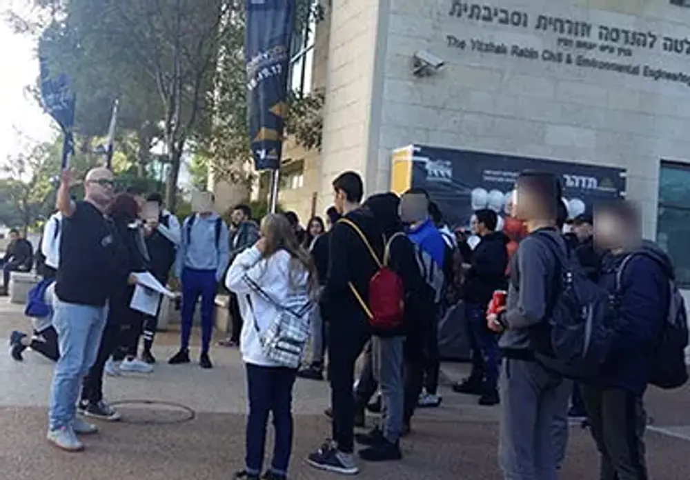
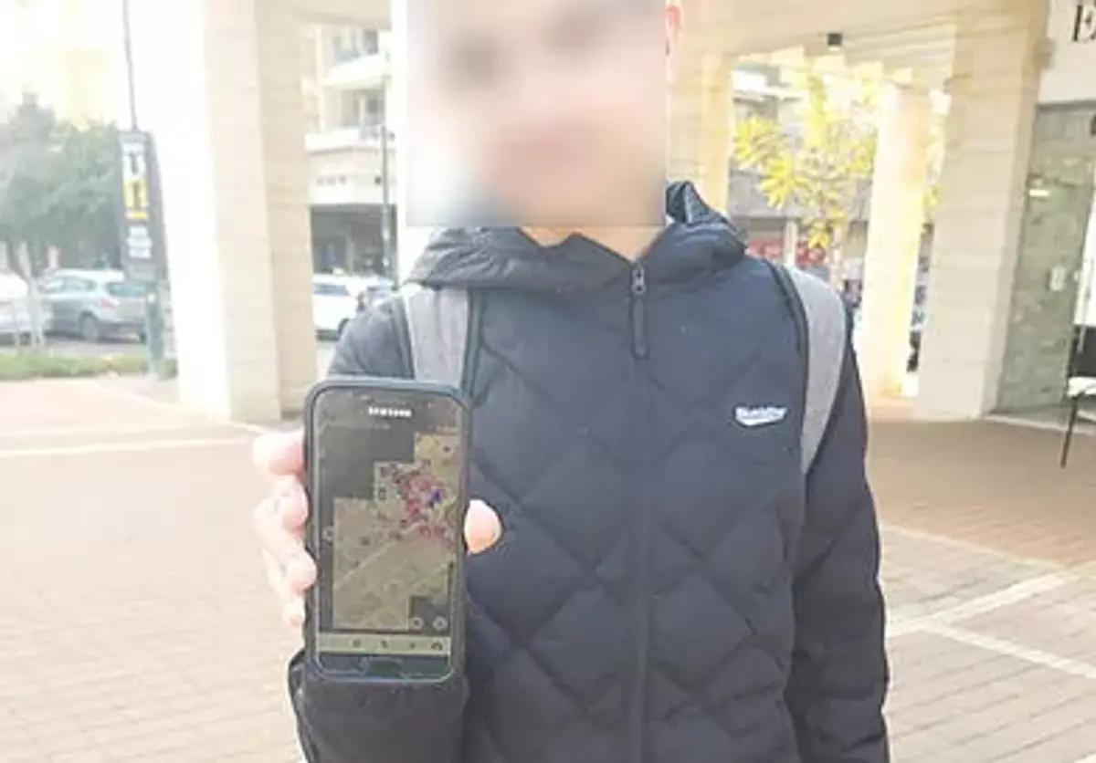
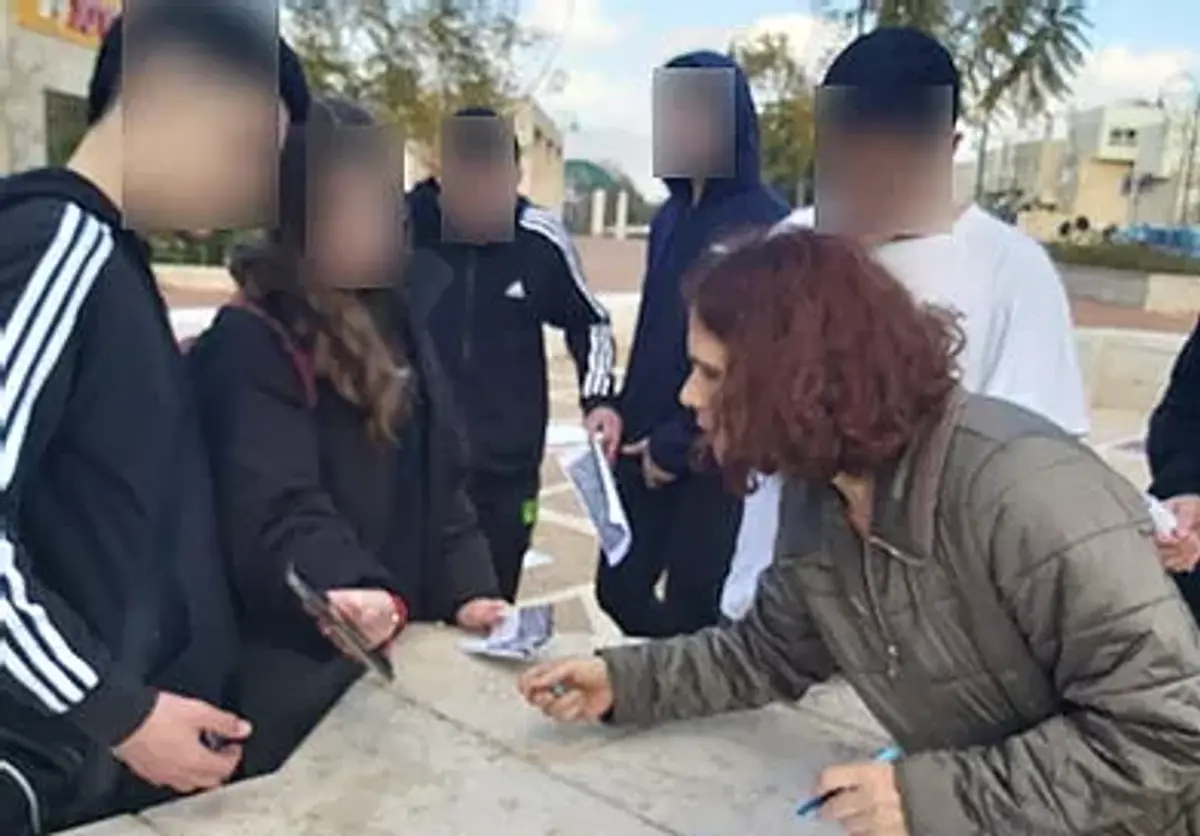
Students at ORT Carmim in Karmiel, studying in the geography track (grade 10) on the "Cyber Geography" pathway, took part in a unique citizen science project. The research, led by Dr. Sagi Dalyot, is based on participatory mapping for the purpose of calculating optimal walking routes for people who are blind. The initiative began with several stages. In the first stage, the students visited the Technion, met with the scientist, attended a lecture, and gained hands-on mapping experience. In the second stage, the scientist made a reciprocal visit to Karmiel. The students learned how to collect information using a smartphone app and heard from him about the OpenStreetMap mapping platform. They then attended a lecture on citizen science and geography, and also met with an instructor from the "Migdal Or" organization, who told them about visual impairments, the importance of accessibility, and the contribution of the initiative to people who are blind.
More resources


Comments
0No comments yet. Yours could be the first.